How Drone Surveys Improve Construction Projects
- Posted by:
- Admin
- Tags:
- drone surveys, drones for construction projects, project site assessment and management, aerial photography and topography
- Posted date:
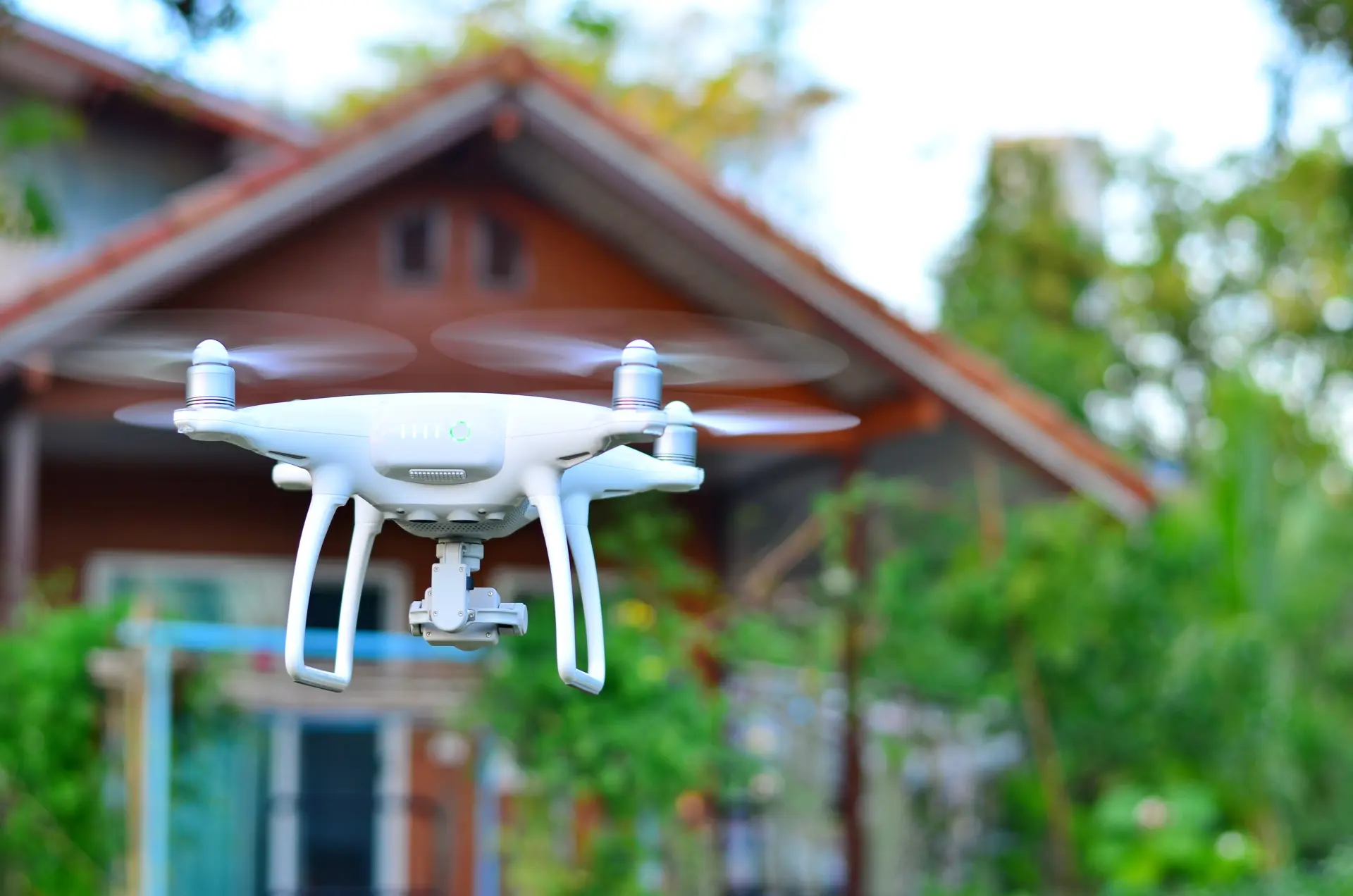
Traditional surveys often take a significant amount of time to complete since surveyors need to set up equipment, take manual measurements, and cover large or complex areas on foot. However, drones with high-resolution cameras, GPS and LiDAR technology can capture extensive amounts of data in a matter of hours. One major benefit of using drones is their ability to spot potential challenges early on within a project's timeline. Drones can generate...
Posted by:Admin on: Read More
Top Benefits of Using Drones for Land Surveys
- Posted by:
- Admin
- Tags:
- drone surveys, aerial photography, site analysis drones, commercial drones
- Posted date:
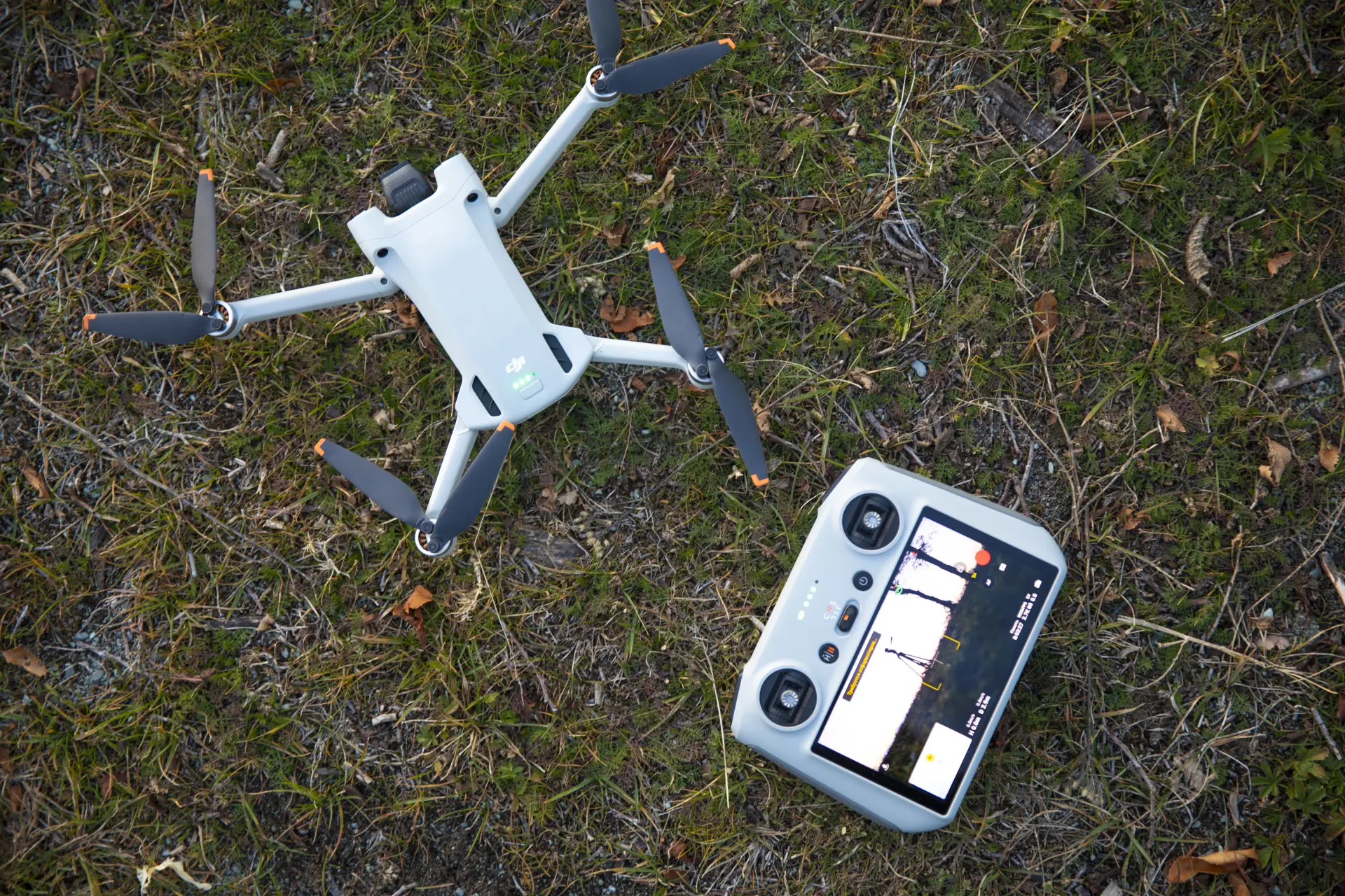
Drones have transformed the way that data is collected and analysed since they are more accurate and efficient than traditional techniques. Drones are equipped with advanced GPS technology, high-resolution cameras, and LiDAR sensors to map large or complex areas with remarkable detail. This level of accuracy reduces the risk of human error and ensures that the survey's results are more reliable, which is particularly valuable in the construction,...
Posted by:Admin on: Read More