Discover how drone surveys can improve construction projects with precise data collection, reduction in delays and better site analysis and planning.
Faster Site Analysis and Planning
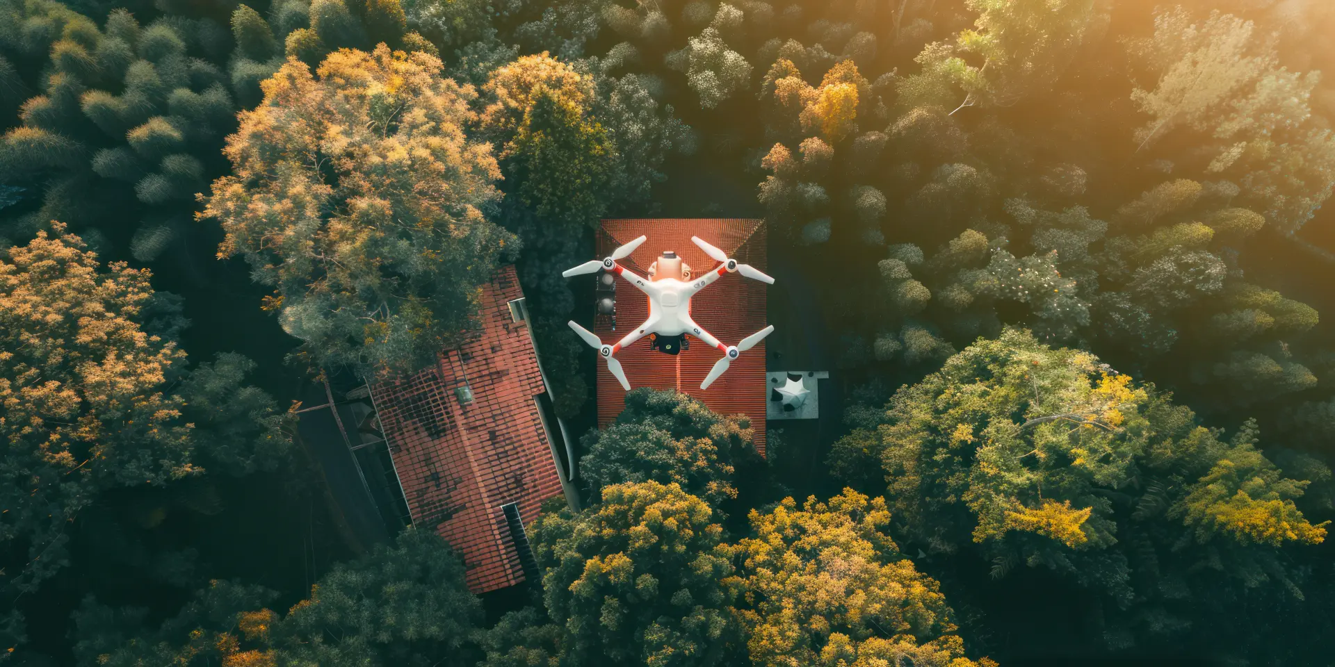
Traditional surveys often take a significant amount of time to complete since surveyors need to set up equipment, take manual measurements, and cover large or complex areas on foot. However, drones with high-resolution cameras, GPS and LiDAR technology can capture extensive amounts of data in a matter of hours.
One major benefit of using drones is their ability to spot potential challenges early on within a project's timeline. Drones can generate precise topographic maps, 3D models, and orthomosaic images that clearly reveal slopes, boundaries and obstructions. This detailed insight can help planners fully understand the terrain before construction starts, which can minimise the risk of expensive mistakes or delays. With rapid access to reliable data, project managers can make smarter decisions and adapt their projects' designs more effectively.
Improved Accuracy in Measurements
Traditional surveying methods rely heavily on manual measurements and ground-based tools, which can be limited by human error, accessibility challenges and time constraints.
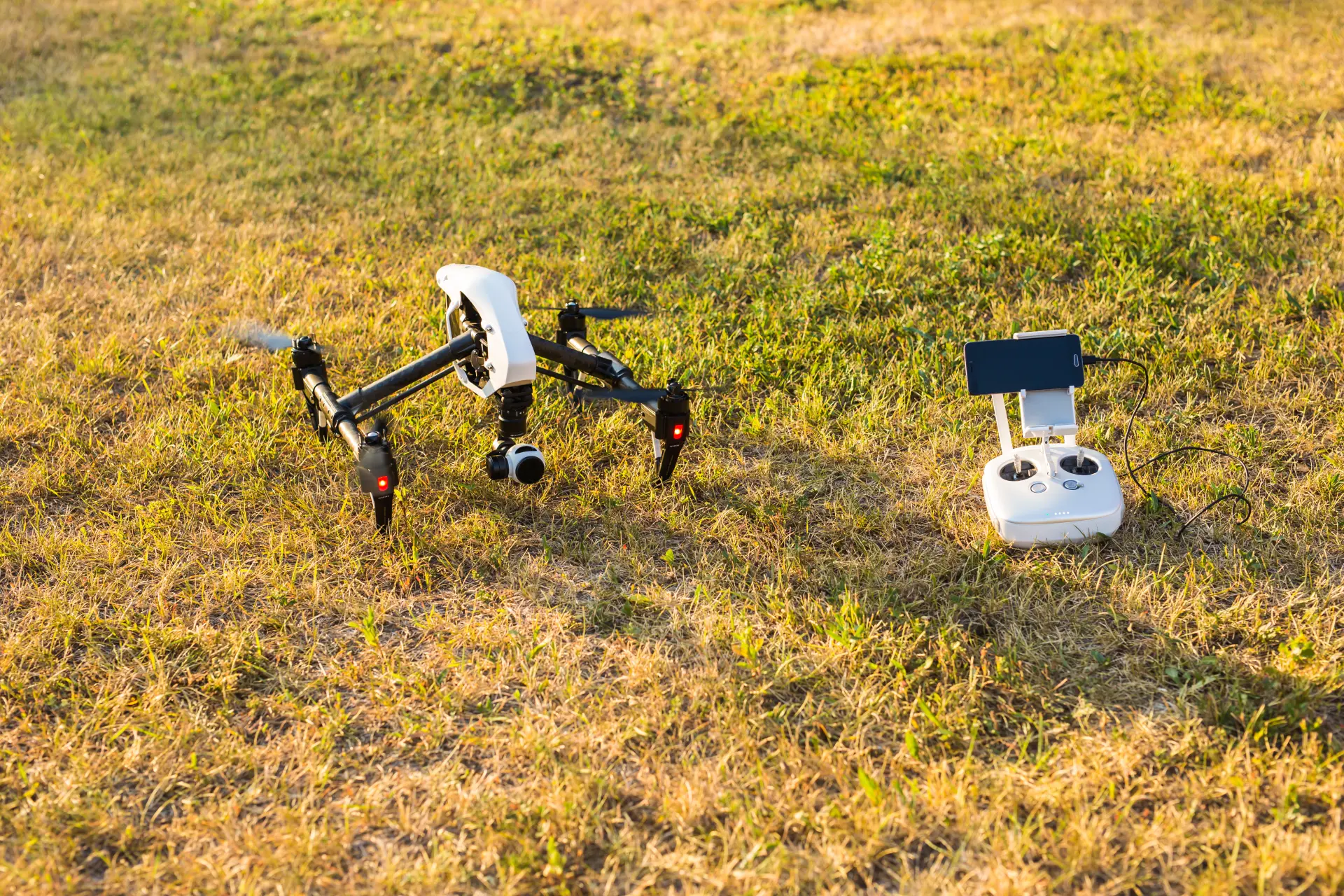
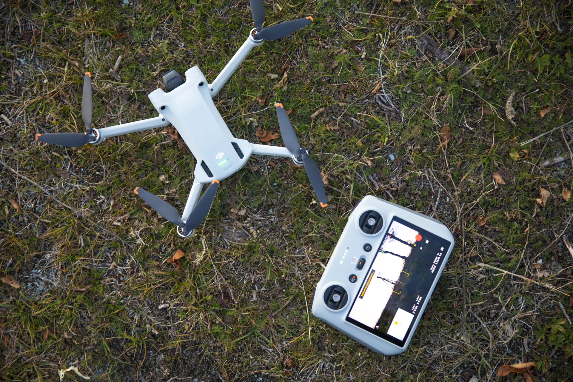
Drones with high-resolution cameras, LiDAR sensors and advanced GPS technology can capture detailed geospatial data from above and produce highly accurate maps, 3D models and measurements. This precision is invaluable for construction projects since every centimetre of space matters.
Accurate measurements are essential during the planning stage of a construction project. By providing precise topographic maps and elevation models, drones allow project managers to understand the terrain, boundaries and potential obstacles better.
This information ensures that the project's design is based on reliable data, which reduces the risk of miscalculations that could lead to expensive design changes or delays during the construction period.
Throughout the construction phase, drones can deliver precise, real-time data that supports the progression of your project and verifies that the project is being completed according to plan. Regular drone surveys make it easier to compare the actual site conditions with your design specifications, which allows you to identify any deviations or issues.
Accessing Hard-to-Reach or Hazardous Areas
Drone surveys are extremely valuable in the construction industry due to their ability to safely access areas that are difficult or hazardous to reach. Traditional surveying often requires workers to physically enter difficult environments such as steep slopes, unstable ground, dense vegetation or active construction zones, and these environments take longer to map and pose risks to workers' safety.
Drones eliminate the need for direct human presence in these areas by capturing detailed aerial data remotely, making the surveying process both safer and faster.
Drones can fly over obstacles and access locations that would otherwise be dangerous or impractical to reach on foot. Surveying tall structures, bridge supports, quarries, or confined spaces can be done quickly with drones, and this enables surveyors to obtain accurate measurements and images without the need for scaffolding, climbing equipment or specialised vehicles.
Drones can also provide detailed 3D models, topographic maps and images that reveal landscape features that could be missed during a ground-based survey. Drones can highlight unstable ground, detect obstructions or assess areas that are prone to flooding. This allows project managers to address any potential issues before the construction phase begins.
Supporting Environmental and Compliance Checks
Construction sites are often subjected to strict environmental guidelines that are designed to protect the surrounding ecosystems, manage waste and reduce the impact of new developments.
Traditional compliance checks can be time-consuming to complete, and they may not always provide a complete picture of the site. Drones, however, can be used to provide a quick, comprehensive assessment that ensures your project is both compliant and environmentally responsible.
Drones are equipped with high-resolution cameras, thermal imaging, and multispectral sensors that can capture detailed data on the site's soil conditions, vegetation, water sources and wildlife habitats.
This makes it easier to identify environmental risks early on, such as erosion-prone areas, water contamination or damage to protected habitats.
Discovering these issues allows construction teams to implement the proper corrective measures before they begin their work, which helps you avoid fines, delays or reputational damage.
By creating accurate maps, 3D models and time-stamped imagery, drones provide a verifiable record of your site's conditions over time. These records can be shared directly with regulators, stakeholders or environmental consultants to demonstrate that your project is adhering to all the legal and environmental requirements.
Our drone surveying services deliver fast, accurate and detailed aerial data for construction, land development, agriculture and environmental projects. We use advanced drone technology to provide high-resolution imaging, mapping, and 3D modelling to ensure you have reliable insights about your project's landscape.