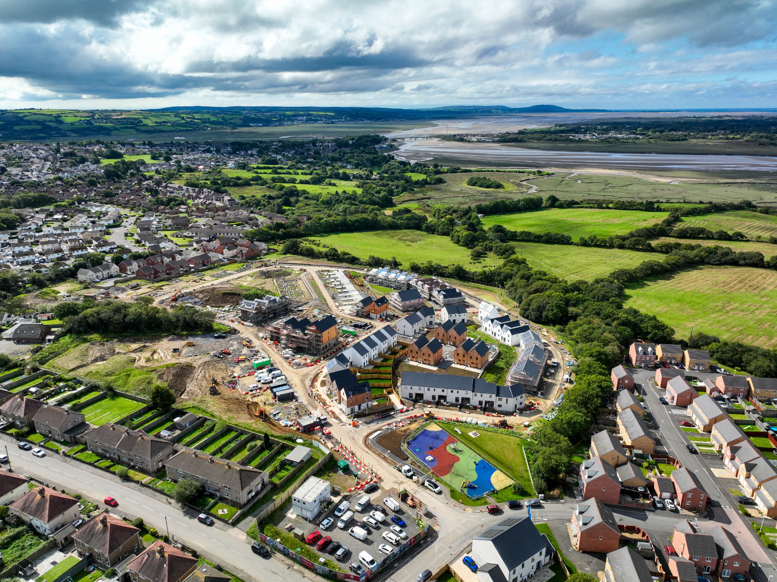
About Our 3D Drone Mapping
Our drone mapping uses new technology to develop accurate 3D images of land and structures. The process involves surveying a plot and collecting data to create detailed 3D maps.
This service ensures project managers and site inspectors gather information without compromising safety. The high-resolution imagery and precise measurements help better planning and decision-making.
Our services are ideal for urban planning, construction monitoring, and environmental assessment. The easy-to-use interface and rapid data processing make it easier for teams to collaborate effectively.
Drone Services We Offer
Our professional drone services include a variety of services. Besides 3D mapping, we provide aerial photography, site inspections, and comprehensive surveys. If you need photographic documentation of your project or need extensive data for map creation, Drone Surveys Cardiff is here. Our team offer tailored solutions to meet specific project requirements. This ensures efficient and accurate results for all your aerial needs.
Aerial Photography
Capture stunning aerial images to enhance your project’s visual documentation. Our team at Drone Surveys Cardiff ensures high-quality photos and videos.
This service is ideal for real estate, construction sites, events, and more. Let us help you bring your vision to life with breath-taking aerial views.
Site Inspections
Use our drones for complete, safe inspections of your site. Our advanced drone technology ensures accurate assessments, saving you time and reducing risks.
Whether for construction, agriculture, or surveying, Drone Surveys Cardiff provides reliable services. Contact us to learn more about how drones can benefit your project.
Surveys
At Drone Surveys Cardiff, we offer detailed topographical and survey data for project planning. Our expertly collected data ensures accurate measurements.
These are essential for infrastructure development, environmental assessments, and land use planning. Contact us to discuss how our services can benefit you.
3D Mapping
We offer precision 3D mapping services for capturing accurate land and site data. Our technology ensures detailed and reliable measurements.
It is ideal for construction, planning, and development projects. With Drone Surveys Cardiff, you get thorough mapping solutions tailored to your specific needs.
Safety Inspections
Our drones ensure a safe and efficient method for thorough site inspections. Using advanced technology, they can reach areas that are difficult to access.
This allows for complete evaluations and accurate data collection. With Drone Surveys Cardiff, you can be confident that every aspect of your site will be inspected.
Project Documentation
We provide photo and video documentation of your projects from a unique view. Our team uses drones and advanced equipment to capture high-quality images and recordings.
This allows us to showcase your projects in ways that highlight their best features. Drone Surveys Cardiff can deliver exceptional visual content for all your needs.

3D Drone Mapping for Infrastructure
For infrastructure and transportation projects, our 3D drone mapping services are ideal. We provide detailed and accurate topographical data and 3D images through drone mapping. These are valuable for precise project work. Our drones can access difficult locations, resulting in thorough data collection beyond manual methods.
By using state-of-the-art technology, we ensure that your project is effectively planned and completed. Whether it’s surveying a remote area or mapping out complex environments, our services promise thorough and reliable results. Choose Drone Surveys Cardiff for unmatched expertise in 3D drone mapping.
In Need Of 3D Drone Mapping Services In Cardiff?
As technology advances, Drone Surveys Cardiff offers quality drone services in Cardiff. We enhance your projects with a focus on safety, accuracy and efficiency. Our services, from 3D drone mapping to inspections, display technology's potential. This results in incredible project insights. Drone Surveys Cardiff offers a range of services tailored to your needs.
Our team of skilled professionals operates with precision, ensuring that every project is completed flawlessly. If you need aerial photography, topographical surveys, or structural assessments. Look no further, we have the experts and equipment to deliver exceptional results. By providing cutting-edge drone technology, we provide you with high-quality data that can significantly enhance the efficiency and outcome of your projects.

Drone Property Photography Cardiff
At Drone Surveys Cardiff, we offer drone property photography services, utilising cutting-edge technology to capture stunning aerial imagery of your real estate listings. Our drones provide a unique perspective, showcasing UK properties in their full splendour.

Aerial Roof Inspections Cardiff
We use the latest, highest-quality drones to provide thorough examinations of rooftops. Our specialised team, proficient in drone technology, ensures precise assessments to identify and address potential issues promptly.

Drone Surveying Cardiff
Discover the excellence of our Drone Surveying service. Employing advanced UAV technology, our skilled team provides precise, comprehensive surveys for various industries. Count on us for accurate, efficient, and insightful data collection.
