Discover the benefits of using drones for land surveys, such as improved accuracy, faster results, and access to hard-to-reach areas for your projects.
Improved Accuracy and Data Quality
Drones have transformed the way that data is collected and analysed since they are more accurate and efficient than traditional techniques. Drones are equipped with advanced GPS technology, high-resolution cameras, and LiDAR sensors to map large or complex areas with remarkable detail.
This level of accuracy reduces the risk of human error and ensures that the survey's results are more reliable, which is particularly valuable in the construction, agriculture and real estate sectors.
Another benefit of using drones is the consistency of the data that's collected. Traditional land surveying methods often require multiple site visits and manual measurements, which can lead to inconsistent results depending on the equipment that's used and the surveyor’s expertise.
Drones, however, can fly programmed routes and capture georeferenced images or 3D models in an even and repeatable way. This allows drones to provide consistent data sets that are easier to compare over time, making them ideal for monitoring land changes, tracking construction progress, or identifying potential issues such as roof leaks.
Faster Surveying Times
Drones are transforming the surveying industry by dramatically reducing the time it takes to complete a land survey. Traditional surveying methods often involve labour-intensive processes such as setting up equipment, taking manual measurements, and covering large areas on foot, which can take days or even weeks to complete, depending on the size and complexity of the project.
In contrast, drones with advanced GPS, cameras, and sensors can quickly scan over wide areas from above and capture high-resolution images and detailed topographical data in a fraction of the time.

One of the main reasons drones provide faster surveying times is their ability to cover difficult or inaccessible terrain with ease. Areas that might need extensive planning or hazardous manual work to cover can be surveyed efficiently with aerial technology.
Construction sites, quarries or agricultural fields can be mapped out in a matter of hours, which reduces your downtime and speeds up your project's timeline significantly.
The speed of drone surveying also translates directly into faster data processing. Many drones can automatically georeference the images they capture, and the raw data can be quickly converted into 2D maps, 3D models or volumetric calculations.
A drone's fast processing time allows surveyors, engineers and project managers to access their project's insights much sooner, which can help them make timely decisions and keep their projects moving forward without unnecessary delays.
Access to Hard-to-Reach Areas
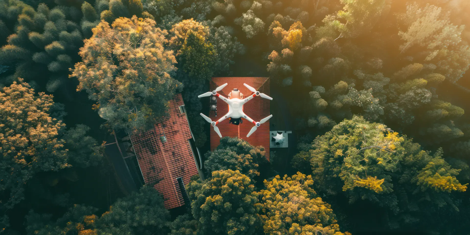
One key benefit of using drones for land surveys is their capacity to reach difficult areas safely and efficiently. Unlike traditional methods that require surveyors to physically navigate steep slopes, dense woodlands, cliffs or busy construction sites, drones can capture this data without the risk of injuries.
These locations take more time to cover, and they can also be significant safety risks. However, drones can eliminate these challenges by providing an aerial perspective, allowing surveyors to capture accurate data without the need for dangerous or time-consuming fieldwork.
Since drones can fly over obstacles, they have better access to areas that would otherwise be extremely difficult or even impossible to reach. For example, surveying a quarry, bridge, or coastal cliff might traditionally require scaffolding, climbing equipment or specialised vehicles, but with drones, these tasks can be accomplished in minutes. Drones can capture and produce high-resolution images and 3D models without the need for workers to expose themselves to unnecessary hazards.
The ability to access hard-to-reach areas also expands the amount of projects that drones can support. From inspecting remote pipelines to monitoring flood-prone wetlands, drones can be used to provide insights that would otherwise be impractical to obtain.
High-Quality Aerial Imaging and Mapping
Traditional surveying methods often rely heavily on ground-based measurements, which can be accurate, but they are often limited in scope and perspective. On the other hand, drones can provide an aerial perspective that allows surveyors to capture high-resolution, detailed images that span across wide areas. This aerial perspective makes it easier to create precise maps and models that give project managers a better understanding of the landscape.
One major factor that makes drones so effective is their cutting-edge imaging technology. Drones with high-resolution cameras, LiDAR and multispectral sensors can record highly detailed and precise features of the terrain.
This technology allows surveyors to generate accurate topographic maps, 3D models and orthomosaic images that highlight everything from the site's elevation changes to surface features.
Another benefit of drones is their capacity to fly consistent and repeatable mapping routes. Drones can be programmed to fly the same routes multiple times to ensure that the data that's collected is uniform. This makes it easier to track any changes in the landscape's formation, measure any growth or degradation, and keep reliable records for long-term projects.
Our drone surveying services deliver fast, accurate and detailed aerial data for construction, land development, agriculture and environmental projects. We use advanced drone technology to provide high-resolution imaging, mapping, and 3D modelling to ensure you have reliable insights about your project's landscape.